[deleted]
[deleted]
Looks very cool! What mapping software did you use?
Thank you, I use ArcMap +a GIS data model I developed.
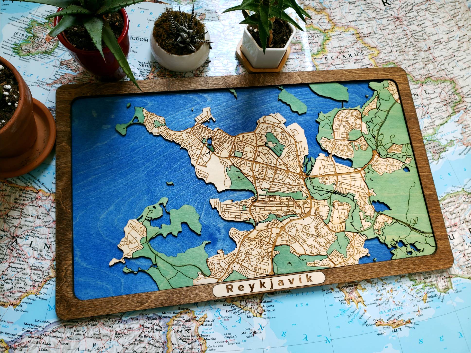
Achually... This is more capital region. You include Kópavogur and Garðabær.
Nevertheless, pretty awesome.
Would you ever sell these?
They already do, on Etsy
Oh! Thanks :)
Feel free to check out more on Instagram @WoodScapeMaps
You should post this in the map subs. They loved my LEGO world map.
That is amazing! Would you ever be willing to make one to sell?
"Mapping software" aka prettymaps
At first glance it looked like the maps from GTA San andreas. In the look of how the map is.
But its very beautyful. Very well done.
Having seen these made I can vouch for their high quality. And the larger the size the more detail.
i love how the wood grain makes the water look flowy!!